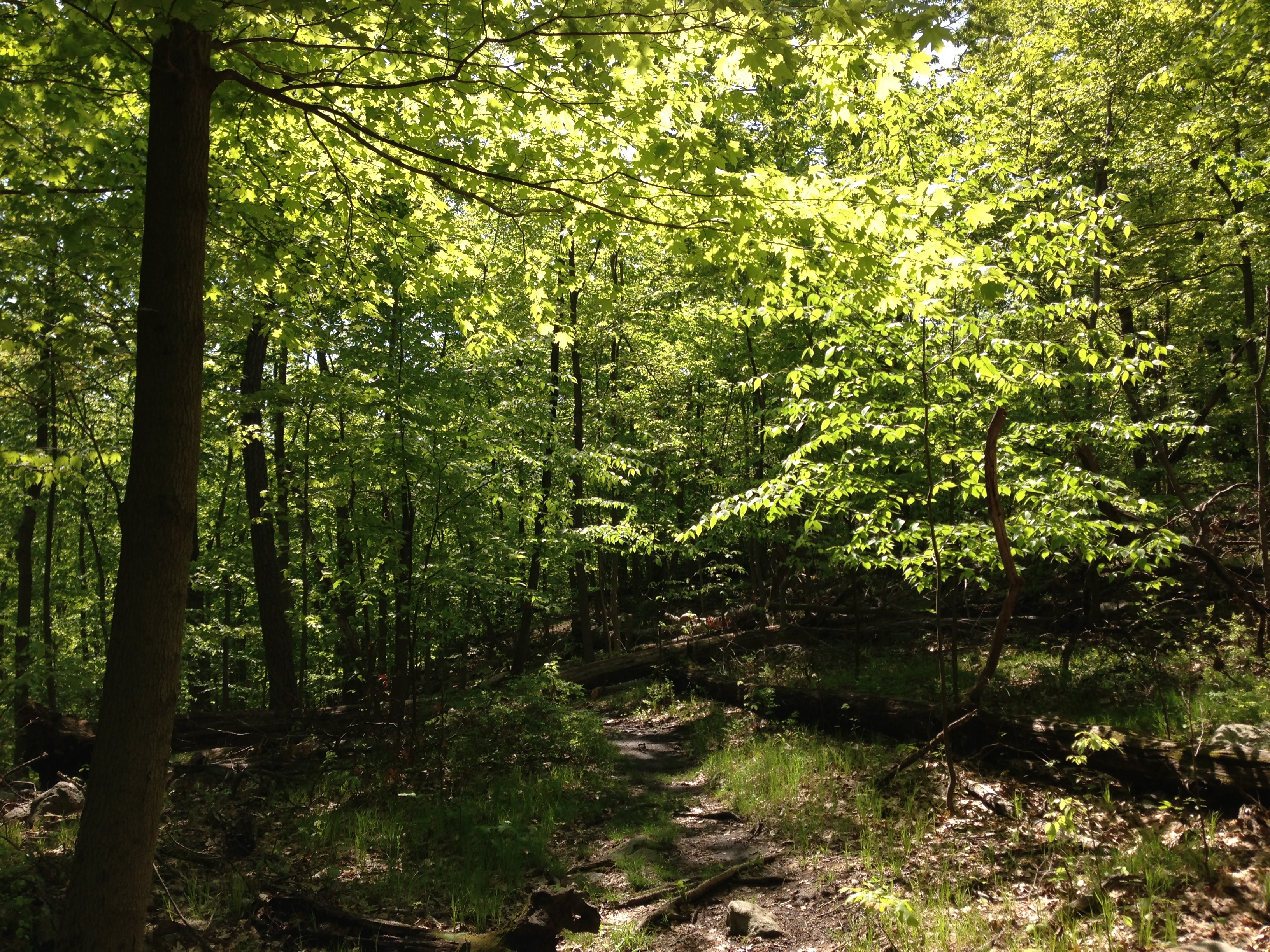
I have read that the Indians followed the paths made by our native Bison, the Woods Buffalo and enlarged by the native Americans and finally the native peoples. Even when I was young some of the roads there were still small dirt roads. Where there was cane I’m sure it was a difficult job. We grew a lot of cane and it can be almost impassable. Maybe the large animals like bison would find it easier to eat through than people could without modern tools. The “old federal road” book available on the net still is a great read. Love the story, Donna.
That’s not what history reads. A ferry now and then and those roads they SAID they cut. If the Federal Road was started in say 1806…. And the first roads were in 1822….
Well the original quotation says ‘county’. We know there were other well travelled thoroughfares in the state that well predate 1822. The Natchez Trace cuts through North Alabama, for example. Thomas Jefferson had it greatly improved from Nashville to the Muscle Shoals, so it was definitely more than merely a buffalo migration trail by the late 1700s, and it had ferries that predate 1822 by a couple of decades at least. So my guess is that comment does indeed refer to that specific county .
This “first road in the county” reference would have referred to the first road constructed after the formal creation of Conecuh County. The Federal Road (which formed the boundary between Monroe and Conecuh Counties) had already been in use for years.
And, Alabama Weaver, the Natchez Trace did not miss Natchez. Natchez was the western terminus of that road.
On the “Note by AP” in the article, there may be some confusion. Construction of the stage road from Cahaba to Pensacola, if done in 1822, was eight years after the Treaty of Ft. Jackson. That part of the state was ceded by the Creeks in the treaty, so their permission would not have been needed. They gave permission for the construction of the earlier Federal Road, a different route that ran northeast to southwest through the Tombigbee District (the Cahaba/Pensacola stage road ran northwest to southeast).
Have you read the treaties and more importantly the letters from the agents. Permission was not given for any roads nor was it in any way ambiguous. The Treaty of Ft. Jackson was actually contested due to the manner by which it was obtained. Something about letting Chief Reed (you have to know the back story taken from newspapers to obtain the English name) go join the Seminoles down in Mount Vernon aka Florida… And using some of the food that was supposed to have been allowed for the so-called Creeks who was actually the Natchez Chief. The list goes on.
History has a lot of obscurities and coincidences that all revolve around Southwest Alabama and Mobile/Louisiana/Mississippi/Florida -> all the exact same place.
This “first road in the county” reference would have referred to the first road constructed after the formal creation of Conecuh County. The Federal Road (which formed the boundary between Monroe and Conecuh Counties) had already been in use for years.
And, Alabama Weaver, the Natchez Trace did not miss Natchez. Natchez was the western terminus of that road.
On the “Note by AP” in the article, there may be some confusion. Construction of the stage road from Cahaba to Pensacola, if done in 1822, was eight years after the Treaty of Ft. Jackson. That part of the state was ceded by the Creeks in the treaty, so their permission would not have been needed. They gave permission for the construction of the earlier Federal Road, a different route that ran northeast to southwest through the Tombigbee District (the Cahaba/Pensacola stage road ran northwest to southeast).
My ancestor Benj. Franklin Goodson b .1751 Revolutionary soldier from SC supposedly was involved in the buildings of the roads after the war. Does anybody know how I can verify the family story? The Goodson families settled just Northeast of Natchez,Ms from early 1800s til present day.

 Unlock with Patreon
I have read that the Indians followed the paths made by our native Bison, the Woods Buffalo and enlarged by the native Americans and finally the native peoples. Even when I was young some of the roads there were still small dirt roads. Where there was cane I’m sure it was a difficult job. We grew a lot of cane and it can be almost impassable. Maybe the large animals like bison would find it easier to eat through than people could without modern tools. The “old federal road” book available on the net still is a great read. Love the story, Donna.
Smoother than tar and gravel in Blount co
Thanks for these stories of the past.
So how did Andrew Jackson move thousands of troops and heavy canons and all those horses in 1813-1815 and later? Help me please. I don’t understand.
By boats on ye River for the most part!
That’s not what history reads. A ferry now and then and those roads they SAID they cut. If the Federal Road was started in say 1806…. And the first roads were in 1822….
Where does that leave Ft. Mims?
What about Aaron Burr’s arrest?
Time to rewrite Alabama history again…. It does not line up with recorded facts.
Well the original quotation says ‘county’. We know there were other well travelled thoroughfares in the state that well predate 1822. The Natchez Trace cuts through North Alabama, for example. Thomas Jefferson had it greatly improved from Nashville to the Muscle Shoals, so it was definitely more than merely a buffalo migration trail by the late 1700s, and it had ferries that predate 1822 by a couple of decades at least. So my guess is that comment does indeed refer to that specific county .
I know write – funny how the trace missed Natchez.
You see the treaties place the Eastern Natchez District in Southwest Alabama in 1801.
Conucuh was originally Monroe County like most of Alabama at the time.
Funny that Thomas Jefferson was so concerned about a portion of the country that wasn’t quite pet of the country yet….
Highly suspect history.
Buffalo Lick – a Salt Trace is in Southwest Alabama.
Natchez means Salt to some…
Walnut Hills – Juglin’s Nigra.
The Juzan’s still own some of the land today.
So does the DuPont family.
Again Southwest Alabama
Loftus Heights Mississippi – great Lofton Road is right there across from old Louisiana.
Southwest Alabama and the Lofton/Loftus etc owned the land directly across the river.
No such thing as coincidence?
Did Alabama mimic Mississippi?
Alabama was Mississippi?
Think about it.
This “first road in the county” reference would have referred to the first road constructed after the formal creation of Conecuh County. The Federal Road (which formed the boundary between Monroe and Conecuh Counties) had already been in use for years.
And, Alabama Weaver, the Natchez Trace did not miss Natchez. Natchez was the western terminus of that road.
On the “Note by AP” in the article, there may be some confusion. Construction of the stage road from Cahaba to Pensacola, if done in 1822, was eight years after the Treaty of Ft. Jackson. That part of the state was ceded by the Creeks in the treaty, so their permission would not have been needed. They gave permission for the construction of the earlier Federal Road, a different route that ran northeast to southwest through the Tombigbee District (the Cahaba/Pensacola stage road ran northwest to southeast).
Have you read the treaties and more importantly the letters from the agents. Permission was not given for any roads nor was it in any way ambiguous. The Treaty of Ft. Jackson was actually contested due to the manner by which it was obtained. Something about letting Chief Reed (you have to know the back story taken from newspapers to obtain the English name) go join the Seminoles down in Mount Vernon aka Florida… And using some of the food that was supposed to have been allowed for the so-called Creeks who was actually the Natchez Chief. The list goes on.
History has a lot of obscurities and coincidences that all revolve around Southwest Alabama and Mobile/Louisiana/Mississippi/Florida -> all the exact same place.
This “first road in the county” reference would have referred to the first road constructed after the formal creation of Conecuh County. The Federal Road (which formed the boundary between Monroe and Conecuh Counties) had already been in use for years.
And, Alabama Weaver, the Natchez Trace did not miss Natchez. Natchez was the western terminus of that road.
On the “Note by AP” in the article, there may be some confusion. Construction of the stage road from Cahaba to Pensacola, if done in 1822, was eight years after the Treaty of Ft. Jackson. That part of the state was ceded by the Creeks in the treaty, so their permission would not have been needed. They gave permission for the construction of the earlier Federal Road, a different route that ran northeast to southwest through the Tombigbee District (the Cahaba/Pensacola stage road ran northwest to southeast).
Now you see why the rivers and waterways were so important…
My ancestor Benj. Franklin Goodson b .1751 Revolutionary soldier from SC supposedly was involved in the buildings of the roads after the war. Does anybody know how I can verify the family story? The Goodson families settled just Northeast of Natchez,Ms from early 1800s til present day.